For rescue services, fire brigades, police and other organisations with security tasks: The Localion Navigator guarantees uninterrupted route guidance, even to remote destinations. Discover a navigation system that has been specially developed for your requirements and integrates seamlessly into your system environment.
We navigate every
Optimal to the goal
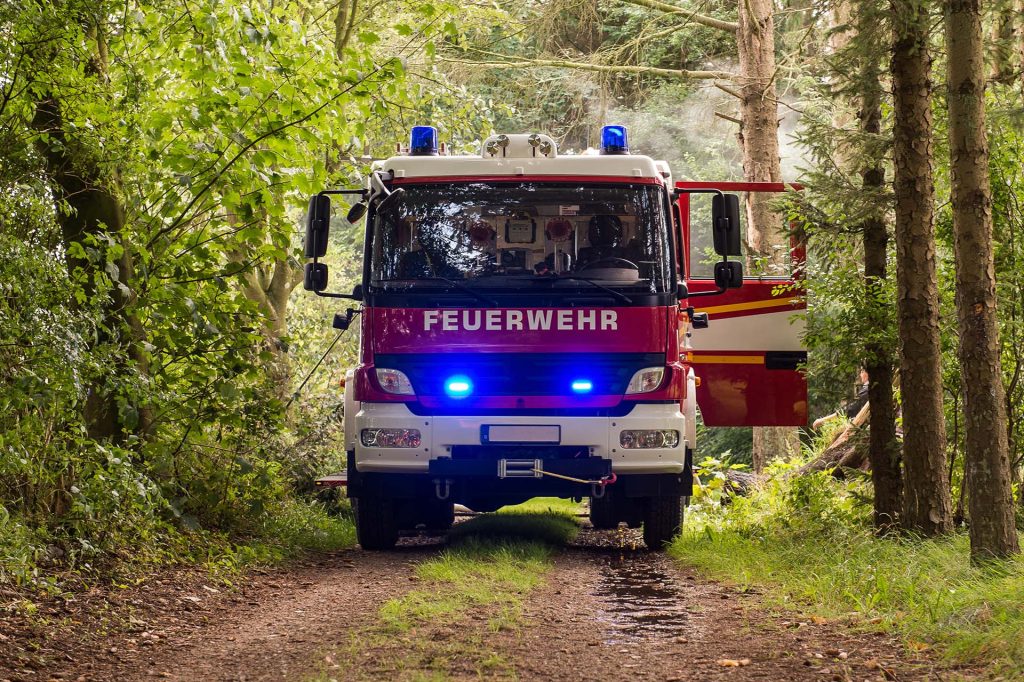
Forest fire protection
Precise navigation off the beaten track
BOS-specific routing options
Content integration of forest fire protection maps
Fire and rescue services
Takes into account different vehicle types
Destination guidance with special rights
Interfaces for the transmission of operating locations
State authorities
Uninterrupted destination guidance
Possibility of individual adjustments
Offline use possible
Functions at a glance
Special maps
With our specialised maps, we offer seamless navigation from the public road network to your location, even if it is remote.
Destination guidance with special rights
A clear, focussed display of navigation instructions ensures less distraction. The route guidance is adapted to special rights, making it easy to switch between journeys with and without special rights.
Can be used offline
The application works completely offline, ensuring navigation even when mobile connectivity is limited.
Forest fire protection maps
Our special maps already include rescue points. For improved orientation, the contents of forest fire protection maps can also be seamlessly integrated into the map display.
Interfaces
Versatile interfaces allow the Localion Navigator to be seamlessly integrated into your Android or iOS system environment. For example, destinations can be transferred from third-party apps and arrival times can be queried from these. The Localion Navigator interfaces can be expanded to fulfil your specific needs flexibly and efficiently.
Individualisation
Different application scenarios require configurable route sequences, special map views or the display of mission-relevant data. As we control and develop the entire technology stack ourselves, we can adapt it flexibly to any requirements and thus offer customised solutions.
Ready for smart navigation?
We navigate you into the future.
Specialised navigation solutions - Safe and efficient with special rights
Conventional navigation solutions often reach their limits when it comes to special requirements such as the consideration of special rights of way, the coverage of non-public routes and precise transmission of the place of operation.
What makes navigation with Localion unique?
The navigation is customisable to meet the specific needs of field service companies.
Specialised navigation maps also cover the non-public trail network.
Support for vehicles with special rights.
Interfaces for seamless transfer of field locations and the unique Germany+ map for uninterrupted destination guidance.
Would you like to find out more about applications in the Public Safety experience?