Localion Cloud - Forestry

Smart route planning - even off public roads

For efficient deployment planning, order management and precise transport cost calculation in the wood processing industry. Our solutions provide comprehensive mapping, routing and optimisation solutions for external hauliers and the internal fleet - online, offline, anywhere, anytime.

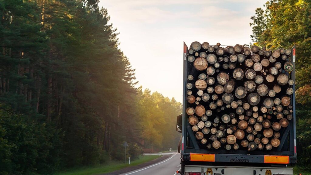
transporter-faehrt-weg-beladen-with-wood

We navigate every
Optimal to the goal

timber-transport-company-drives-with-loaded-transporter-route-through-forest-area

Timber hauliers

  • More efficient journey time management
  • Facilitation of route planning
  • Risk minimisation
wood-processing-industry-processes-wood-into-plant

Wood processing industry

- Effective deployment planning and management
- Transports and orders off the public road network
- Realistic driving times and routes taking into account truck restrictions

Functions at a glance

Forest map

The Forest Map in the Localion Cloud is a special map material that covers non-public roads and areas that are important in the forestry and timber industry. It enables precise orientation and planning in forest areas where conventional maps are often incomplete.
The Localion Cloud identifies and categorises the different types of paths and roads that vehicles can travel on. This ensures that the optimal route is selected that meets the specific requirements of forestry and timber transport.
The Localion Cloud takes into account truck-specific attributes such as size, weight and speed restrictions to precisely adapt route planning and optimisation to the requirements of timber transport. This ensures compliance with truck restrictions.
The Localion Cloud supports companies in the efficient planning of transport routes. It takes into account factors such as delivery windows, traffic conditions and vehicle availability to create optimal routes.
This feature allows companies to mark specific locations in the forest and create individual Points of Interest (POIs). This facilitates the accurate identification of locations in the forest, which is of great benefit when coordinating and navigating in forest areas.
mockup-laptop-cloud-forestry

Ready for smart navigation?
We navigate you into the future.

Navigate, plan & optimise in forestry - with the Localion Cloud

Wood processing industry

Easily calculate transports and routes even off public routes

The truck option of the Forestry map takes into account the specific restrictions in the forest as well as on public roads. For both route planning and freight cost calculation, the actual distance kilometres can also be calculated for the last mile in the forest.

What makes route planning with Localion unique?

  • Using your own forest navigation map
  • Coverage of the non-public road network

Would you like to find out more about applications in the Forestry experience?