Rising personnel costs, decline in qualified personnel
lead to increased cost pressure and require an efficient way of working both in forestry and in the wood processing industry.
Climate change
with its effects such as storm damage and forest fires, it places high demands on the organisation of emergency forces and navigation in the forest - both during the event and in the subsequent damage management.
Pest infestation and extreme weather conditions
lead to strong fluctuations in supply, which have to be managed by logistics within a short time window.
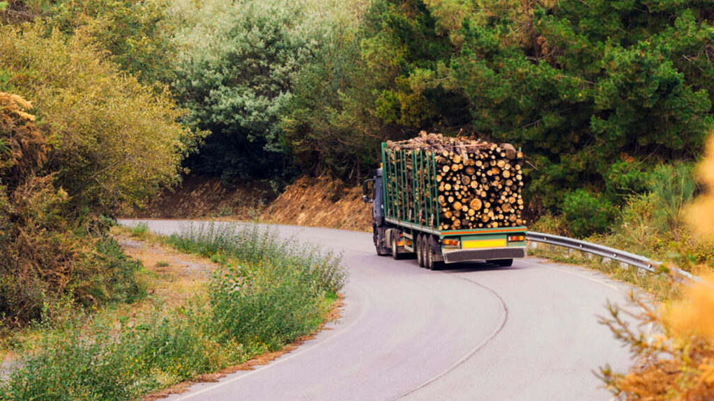
Agile transport solutions - navigation even off the public roads
Forestry offers a comprehensive solution for companies in the timber and forestry industry by combining classic truck road navigation with forest road information classified according to navigability to create a navigation map. By entering coordinates or importing order files, safe and efficient route guidance deep into the forest is made possible.
What makes navigation with Localion unique?
Use of own and special forest navigation map
Coverage of the (Navlog) qualified non-public road network
Easy import of the tour data
Complete offline use of the navigator
State Forests
Timber buyer
Optimised route planning increases efficiency
Safe and efficient route guidance in the forest is indispensable, especially for new employees or employees with a supra-regional area of operation, e.g. also in state forestry. A lack of local knowledge is compensated for by the classified forest route navigation.
For timber purchasers and forestry experts, too, planning tours with the forestry navigation map and finding your way around unfamiliar forest areas ensures real optimisation of work organisation.
What makes navigation with Localion unique?
Use of a special forestry navigation map with Navlog data, always up to date
Coverage of the non-public road network
Adapted to the individual requirements of the industry, such as forest tracks, forest roads and other road types relevant to the industry
Consideration of potential danger spots
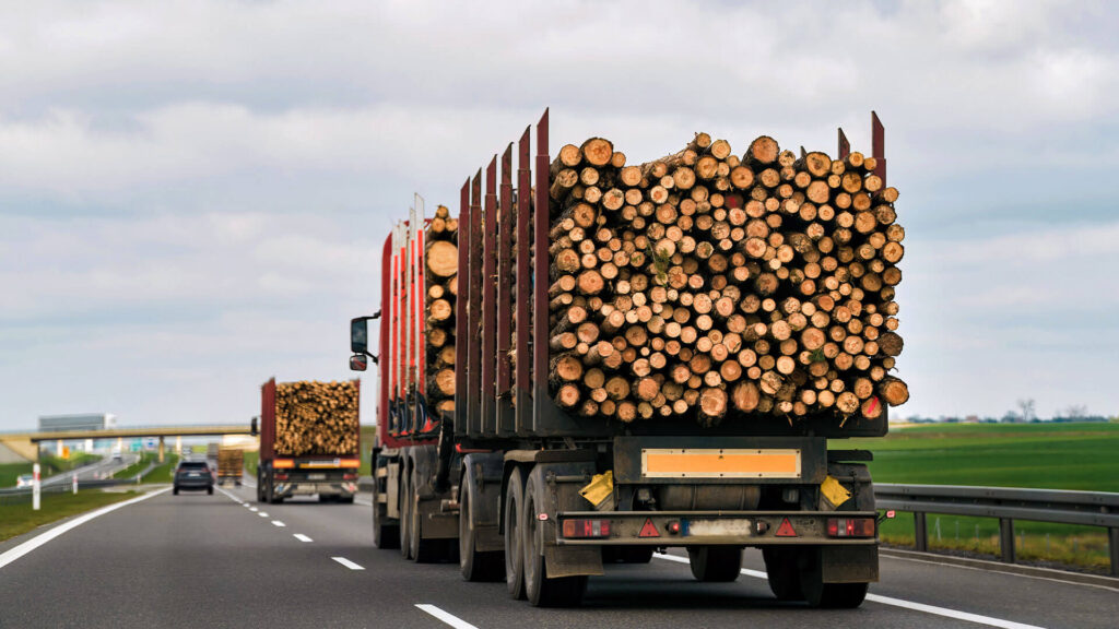
Wood processing industry
Easily calculate transports and routes even off public routes
The truck option of the Forestry map takes into account the specific restrictions in the forest as well as on public roads. For both route planning and freight cost calculation, the actual distance kilometres can also be calculated for the last mile in the forest.
What makes route planning with Localion unique?
Using your own forest navigation map
Coverage of the non-public road network
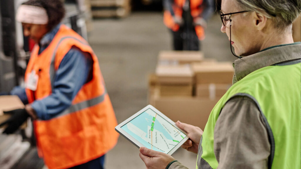
Case Stories
Localion in action
Freight cost accounting with SAP connection at a leading company in the timber industry