Optimise your timber transport and forestry operations with a specialised navigation solution that covers both the public and qualified non-public road network. Increase productivity, simplify route planning and improve collaboration in the timber transport chain.
We navigate every
Optimal to the goal
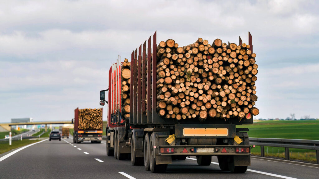
Timber hauliers
More efficient journey time management
Facilitation of route planning
Risk minimisation
State Forests
Support for nationally active employees
Efficient work organisation
also use forest roads accessible by car
Timber buyer
Maximised staff productivity
Efficient work organisation
Improved cooperation
Functions at a glance
Forest map
With our forest map, we enable seamless navigation from the public road network to the depths of the forest. Thanks to the Navlog classification of forest roads, even unfamiliar forest areas can be navigated safely and independently.
Can be used offline
The application works completely offline, ensuring navigation even when mobile connectivity is limited.
Vehicle profiles
Regardless of whether you are travelling to forest destinations by car or truck, we enable you to create different vehicle profiles. This allows you to map various loading conditions, for example.
Tour planning
You can easily import order data into the app, organise it there and use it for effective daily route planning. For more demanding planning situations, we offer you a suitable solution with the Localion Cloud.
Your data on the card
Forestry departments, individual point information (POIs) or other areas, lines and point data can be displayed on the map for better orientation and selected as navigation destinations.
Ready for smart navigation?
We navigate you into the future.
Our navigation solutions in the forestry & wood sector
Timber hauliers
Agile transport solutions - navigation even off the public roads
Forestry offers a comprehensive solution for companies in the timber and forestry industry by combining classic truck road navigation with forest road information classified according to navigability to create a navigation map. By entering coordinates or importing order files, safe and efficient route guidance deep into the forest is made possible.
What makes navigation with Localion unique?
Use of own and special forest navigation map
Coverage of the (Navlog) qualified non-public road network
Easy import of the tour data
Complete offline use of the navigator
State Forests
Timber buyer
Optimised route planning increases efficiency
Safe and efficient route guidance in the forest is indispensable, especially for new employees or employees with a supra-regional area of operation, e.g. also in state forestry. A lack of local knowledge is compensated for by the classified forest route navigation.
For timber purchasers and forestry experts, too, planning tours with the forestry navigation map and finding your way around unfamiliar forest areas ensures real optimisation of work organisation.
What makes navigation with Localion unique?
Use of a special forestry navigation map with Navlog data, always up to date
Coverage of the non-public road network
Adapted to the individual requirements of the industry, such as forest tracks, forest roads and other road types relevant to the industry
Consideration of potential danger spots
Our bestseller for logging companies
The complete package contains a solution that has been proven in practice by our users every day.
Hardware, software and navigation map are optimised for use on all routes.
Numerous features support you in handling your orders perfectly, even off the beaten track.
Ideal for timber removal and target search in the forest - also for forest firefighting and the forest rescue chain.